Trail Network Maps
Wappinger Greenway Trail Northern Tier Map (pdf)
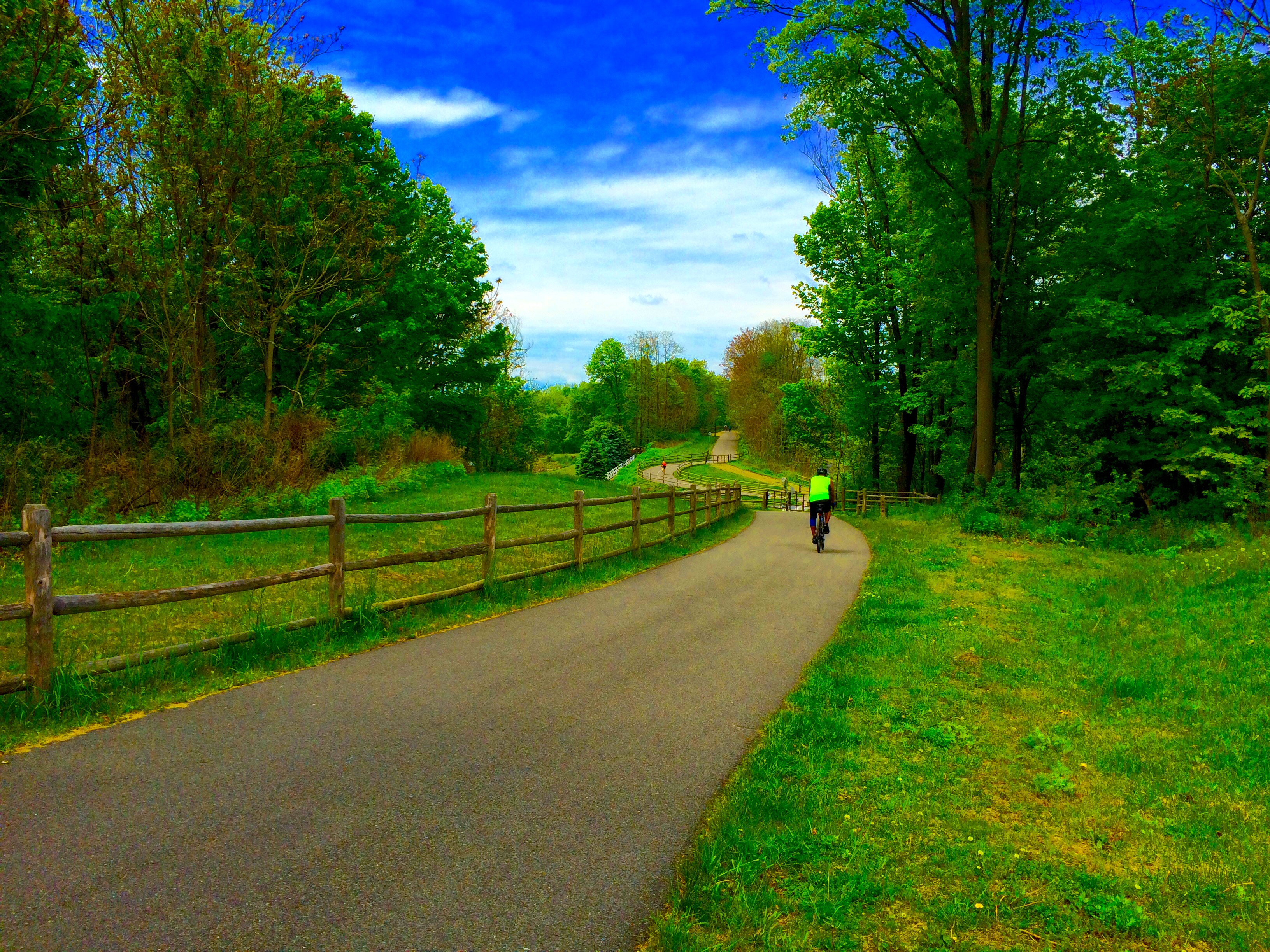
The Wappinger Greenway Trail is a 10.7-mile figure 8 loop of on and off-road trails encircling the lower Wappinger Creek and the Wappinger Lake. The trail links historic, cultural, natural and economic resources of local and regional significance. It is a key segment in the Hudson River Valley Greenway System.
Destinations of Interest
- Mesier Park and Homestead
- Grinnell Library
- Reese Park Town Nature Preserve
- Market Street Industrial Park
- Bowdoin County Park
Wappinger Greenway Trail Southern Tier Map (pdf)
The southern tier of the Greenway Trail system meanders through the Town’s waterfront areas of the Wheeler Hill Historic District and the Chelsea hamlet. The trail links historic, cultural, natural and economic resources of local and regional significance. It is a key segment in the Hudson River Valley Greenway System.
Destinations of Interest
- Carnwath Farms Historic Site & Park
- Chelsea Yacht Club
- Castle Point Park
- Hudson River Greenway Water Trail
- Chelsea Boat Launch
- Farmers Landing
William R. Steinhaus Dutchess Rail Trail Map (pdf)
The Dutchess Rail Trail is a 13-mile (21 km) rail trail that stretches from the former Hopewell Junction train depot, north to the Poughkeepsie entrance of the Walkway over the Hudson. It’s a shared use rail trail open for pedestrians and bicycles. The Dutchess Rail Trail forms part of the proposed Empire State Trail.
The 750 mile trail traversing the State of New York, is the longest continuous trail in the country. The trail runs north from Battery Park in Manhattan through the Town of Wappinger via the Dutchess Rail Trail north to Buffalo and to the Canadian boarder. With the creation of this trail network, Wappinger is now seamlessly connected to sites such as the Lower Manhattan, the New York State Capitol Building, the Erie Canal, and Niagara Falls.

